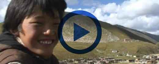
Karuo District, also known as “Kharo chu” in Tibetan, is a municipal district and also the seat of Chamdo City
Location
Karuo District is connected to Jomda County and Gonjo County to east, adjacent to Zhagyab County and Baxoi County to south , bordering Riwoqe County to west, and Yushu City and Nangqian County to north.
Since the establishment of Chamdo Prefecture in late Qing Dynasty(AD 1616 – AD 1912), Karuo District has always been the political, economic, cultural and transportation center of Chamdo City, and is known as “gateway of eastern Tibet”
Best time to travel
Throughout a year
Local climate
Plateau climate
Most popular sites
Jampaling monastery is located at the intersection of Ang-qu and Za-qu in Chamdo Town. The main offering Buddha of Jampaling monastery is Jampa Buddha (also known as Future buddha or Maitreya) so the name of the monastery is called Jampaling Temple. It was built in 1444 AD by one of Tsongkhapa’s disciples, whom took eight years to complete
Karuo Cultural Site, is located near a cement factory about 12 kilometers west of Chamdo Town. It was discovered in the late 1970s. In 1977, during the construction of the cement plant, a large number of original tools and cultural relics such as stone axes, stone adzes, and clay pots appeared. In 1979, the excavation began. The site covers an area of about 10,000 square meters and has a wide variety of cultural relics. Among them, 31 houses are found, and tens of thousands of stone tools, bones, pottery pieces and other cultural relics have been unearthed, as well as a large number of animal bones and corn. Experts have identified these items are from “Neolithic Period” 4000 to 5000 years ago.
Geography and climate
Karuo District is located in the area of Hengduan Mountains and three rivers (Jinsha River, Lancang River, Nu River) basin in eastern Tibet, with a total area of 10,800 square kilometers; the terrain is high in north and low in south, with a “W” shape from east to west.
The highest elevation is 6,100 meters, the lowest elevation is 2,900 meters, and average elevation is 3,500 meters. Its terrain is complex and diverse, with obvious cuts, steep peaks and ridges, and ravines.
Karuo District is a mid-latitude area, with mixed monsoon climate in cold-temperate plateau. The top of mountain is snow-capped all year round, the mountainside is densely forested, the foot of the mountain is thick with trees, and the valley presents subtropical characteristics.
Its climate is pleasant. Summer is mild and rainy, with sufficient sunshine in winter. Average annual temperature is 7.5℃, average temperature in January is -2.3℃, average temperature in July is 16.3℃, frost-free period is 127 days, and average annual precipitation is 478 mm.
Population and ethnicity
As of 2015, the total population of Karuo District was 220,000. Tibetans account for 94% of total population, and there are other 21 ethnic groups, including Han, Hui, Miao, Mongolian, Loba, and Monba.
Brief history
“Karuo Primitive Village Site” located 12 kilometers south of Chamdo city enables the history of Karuo District to trace back more than 4,000 years.
During Han Dynasty(202 BC-220 AD), the vast area with west end on Karuo district was called “Kham”
In Tang Dynasty(AD 618-AD 907), Karuo area was rulled by Tubo kingdom
Since Yuan Dynasty(AD 1271-AD 1368), it was officially included in China’s territory;
During Qing Dynasty(AD 1616-AD 1912), it was called “Chamdo” (equivalent to administrative office). The minister of Qing goverment in Tibet has two positions, and the deputy is based in Karuo town.
At the end of Qing Dynasty(AD 1616-AD 1912), Chamdo County was set up, and later, it was changed to Chamdo Zong
In 1913, Chamdo County was again established by Republic of China, which belonged to Sichuan Province.
In 1918, Chamdo County was occupied by Kashag regime
In 1939, The government of Republic of China established Xikang Province, and Chamdo County became a county under its jurisdiction
In 1956, Chamdo County was placed under jurisdiction of Tibet Autonomous Region;
In 1960, Lado Zong was merged and became a part of Chamdo County
In 2014, Chamdo prefecture was withdrew, “Chamdo City” was officially established, and Chamdo County was also abolished, and being changed to Karuo District


